disasters, poetry + other things
Bio: Claudine Jaenichen
Design for Emergency Management
Visit DNEM’s website
DNEM encompasses award-winning global efforts from an interdisciplinary team to improve the lives of others during disasters. We are designers, scientists, and communication specialists working with communities to make them safer by applying evidence-based research and practice.

In 2018, DNEM held a design workshop with local emergency managers at Chapman University. Topics covered an introduction to understanding visual language, iconography, cognition factors in emergencies, rapid prototyping, evaluation, and ethics.

FEMA PrepTalks are given by subject-matter experts and thought leaders to spread new ideas, spark conversation, and promote innovative leadership for the issues confronting emergency managers over the next 20 years. FEMA PrepTalks are by invitation only and presented to a diverse audience of emergency personnel, community members, and leaders. The full FEMA PrepTalk episode is available on YouTube. Here is the list of all available FEMA Talks.
FEMA Shelter-in-Place Pictogram Guidance
Between 2019–2022, I worked as an Argonne Associate for the U.S. Department of Energy. FEMA reenvisioned and assessed public-facing knowledge of protective action guidance for 10 hazards in three building types. The revised guidance was reproduced as infographics of recommended interior locations by hazard, additional protective actions, and duration. The campaign underwent the process for 508-compliance and is currently used in national preparedness information as well as response to disasters.
Download the Guidance

I recognize the work and research I am about to present contains limited access for all people and that evacuation privilege must be addressed. I continue to educate myself and will champion inclusive solutions that become a priority and to mainstream consideration for neurodiversity, disabled people, and underserved communities.
TsunamiClear
TsunamiClear Maps transform data-driven and content-heavy GIS maps that are traditionally used for internal decision-making to evidence-supported public-facing maps that are useful and memorable for community members to plan for a tsunami evacuation, identify alternative evacuation routes, and discover routes that are not part of their everyday routine.
TsunamiClear considers how design supports cognitive variables including collective behavior, tunnel vision, and issues in temporary cognitive paralysis. The objective is to encourage cognitive recall of tsunami risk for residents, tourists, students, commuters, and employees.
TsunamiClear creates and distributes information and education that is coherent, cohesive, and memorable.


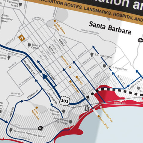
TsunamiClear maps have been developed throughout coastal cities and state parks in California and are funded through the California Governor’s Office of Emergency Services:
San Diego County: Oceanside, City of San Diego, Coronado, Chula Vista, Del Mar, Encinitas, Imperial Beach, National City, Solana Beach Los Angeles County: Santa Monica, Venice Beach, Marina Del Rey, El Segundo, Harbor City, Malibu, Hermosa Beach, Manhattan Beach, Palos Verdes Estates, Rancho Palos Verdes, Redondo Beach Orange County: Huntington Beach, Laguna Beach, Newport Beach, Seal Beach, Sunset Beach Santa Barbara County: Santa Barbara, Gaviota Beach, El Capitan Beach, Refugio Beach, Surf Beach, Guadalupe Dunes, Jalama Beach San Francisco County: San Francisco Northern California: Pacifica, San Mateo State Parks, Half Moon Bay, Redwoods National Park, Santa Cruz National Parks, Monterey Ventura County: Ventura, Oxnard, Port Hueneme

FireClear: Visual standards for public-facing wildfire maps to improve spatial knowledge and risk literacy for those living in fire hazard communities
FireClear maps transform data-driven and content-heavy maps traditionally used for internal planning and zoning into public-facing maps that are useful and memorable for community members to plan for a wildfire and identify alternative evacuation routes. FireClear maps are not adequate for use during a wildfire, instead, these maps help develop a person’s cognitive map of their environment retaining evacuation route options when they are not in crisis, and therefore improve recall of evacuation route directives that differ from those taken during everyday routines. The development of a recognizable, strong, consistent, and coherent visual language gave rise to a visual voice that is available in 34 cities in California. Still, FireClear is flexible enough to be explicitly designed to meet the needs of individual communities, such as decisions on what is appropriate to include on the maps. FireClear improves transparency and communication between the public and emergency management, to improve risk literacy and contribute to community resilience.
FireClear maps transform data-driven and content-heavy GIS maps that are traditionally used for internal decision-making into evidence-supported public-facing maps that are useful and memorable for community members to plan, identify alternative evacuation routes, and discover routes that are not part of their everyday routine.
FireClear considers how design supports cognitive variables including collective behavior, tunnel vision, and issues in temporary cognitive paralysis.
FireClear improves transparency and communication between the public and emergency management. Like TsunamiClear, these maps create information and promote awareness that is coherent, cohesive, and memorable.

FireClear maps are currently in 34 cities in the State of California:
Orange County: Aliso Viejo, Laguna Beach, Irvine, Dana Point, Laguna Hills, Laguna Woods, Laguna Niguel, San Clemente, San Juan Capistrano Marin County: Novato, Town of Fairfax, Kentfield, Ross Valley, Central Marin, Greenbrae, East Corte Madera, San Rafael, Mill Valley, San Geronimo, Point Reyes/Inverness, Mill Valley, Nicasio, Panoramic, Southern Marin, Bolinas, Stinson Beach Sacramento County: Galt, Folsom, Citrus Heights, Elk Grove, City of Sacramento, Iselton, Rancho Cordova Nevada County: Nevada City

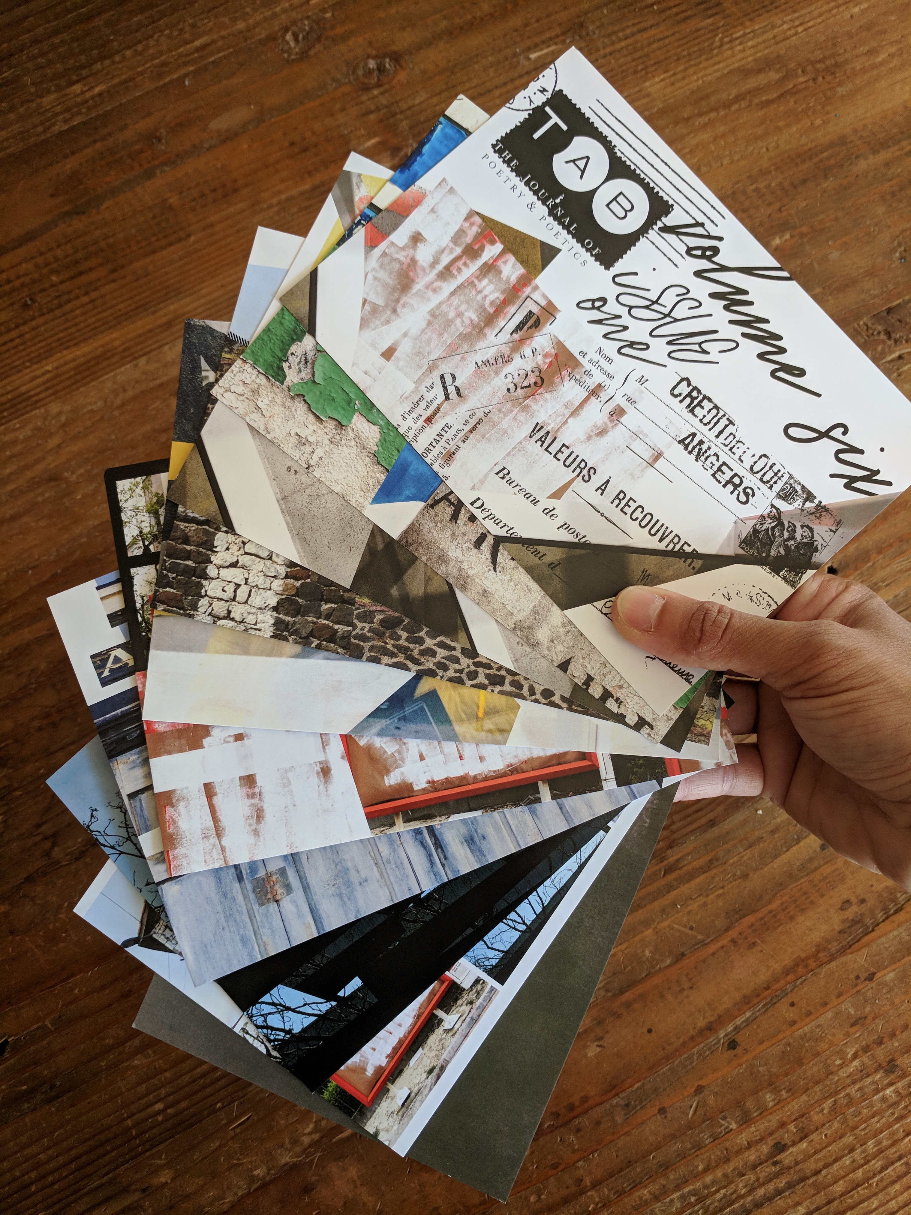
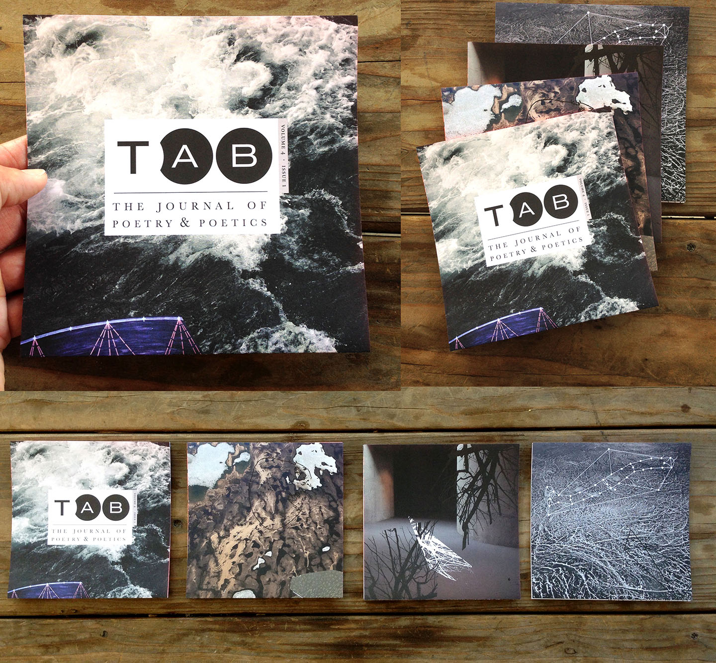
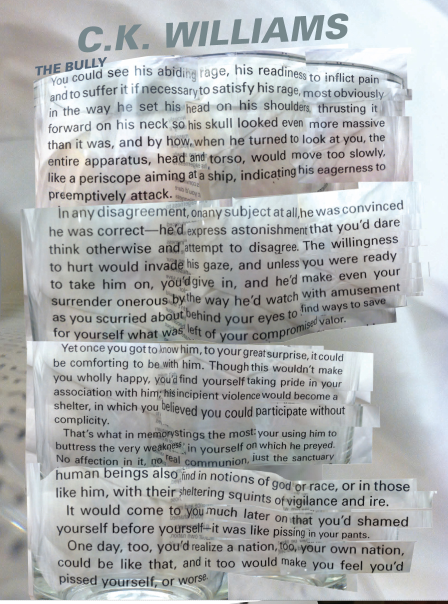
Tab: The Journal of Poetry and Poetics
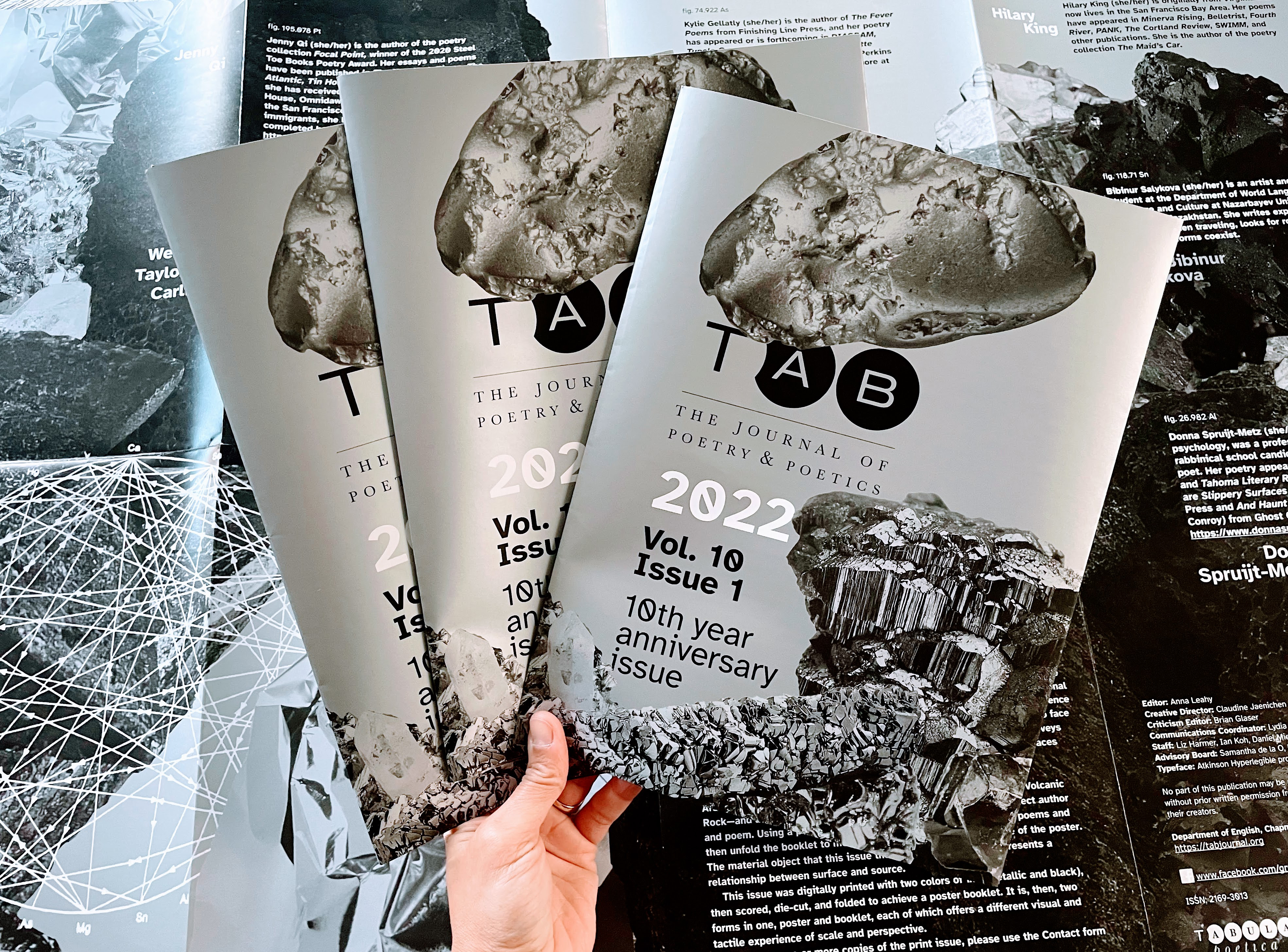
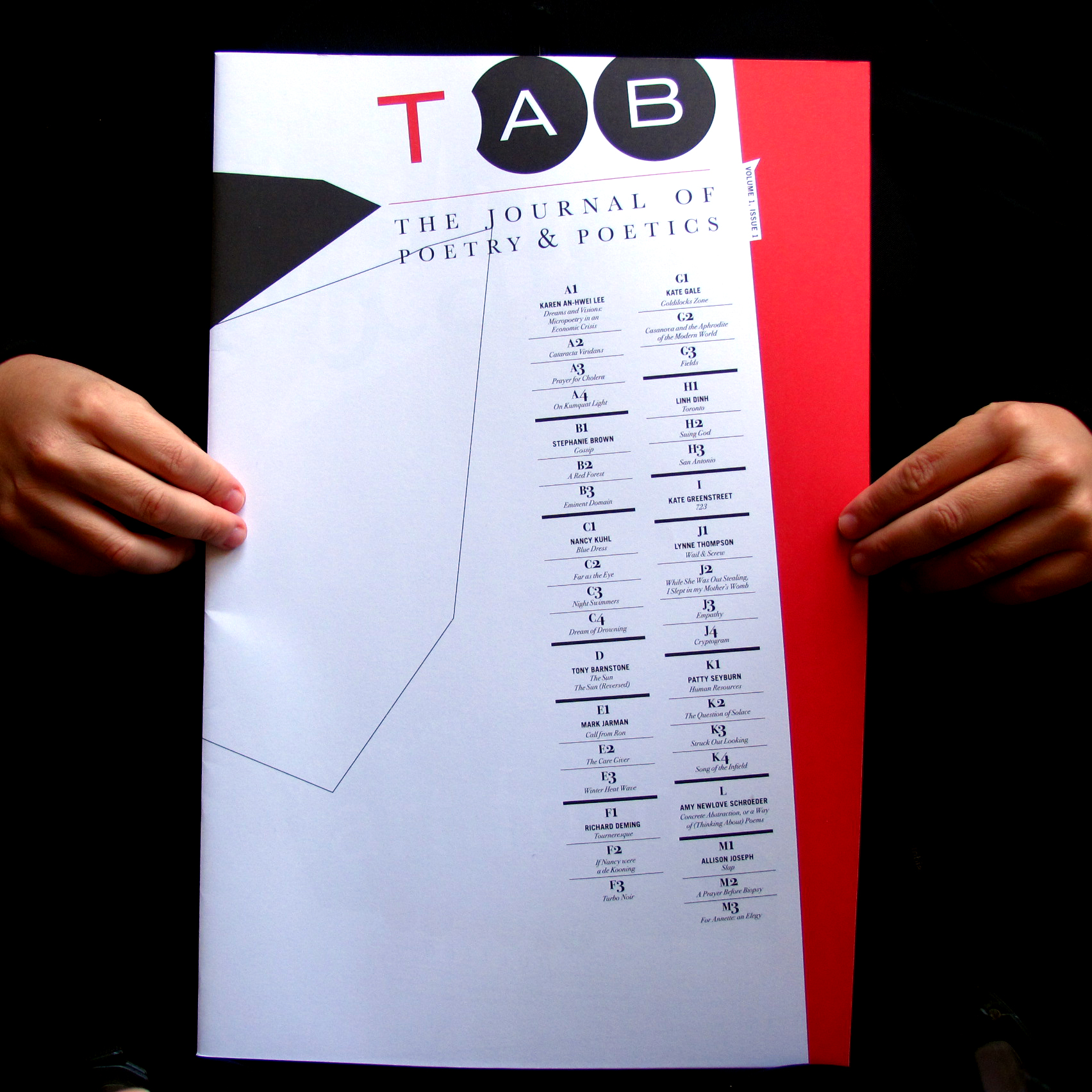

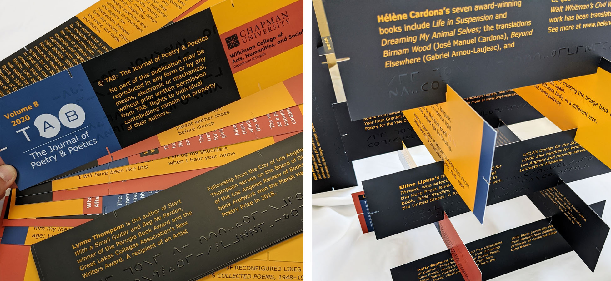

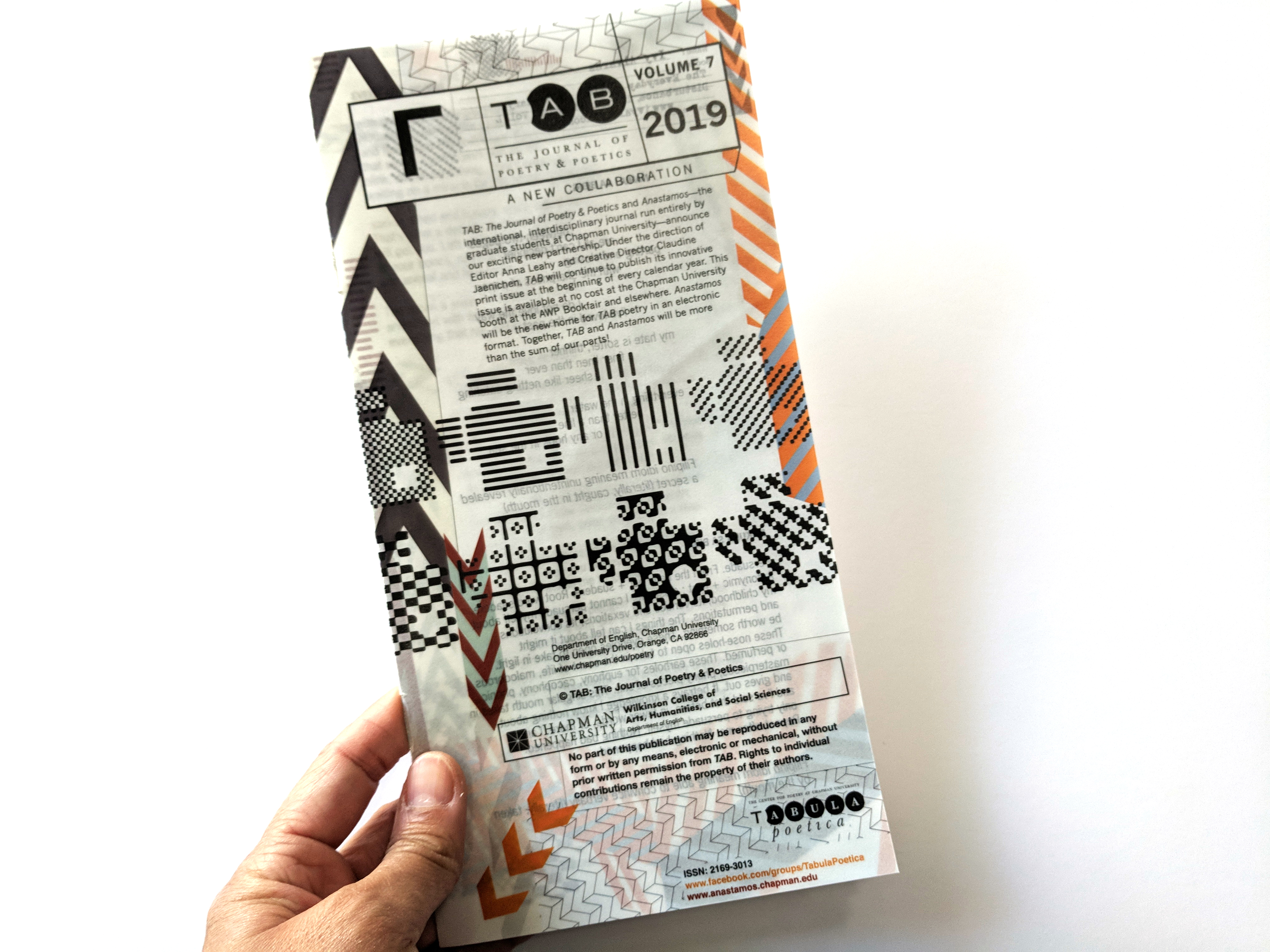

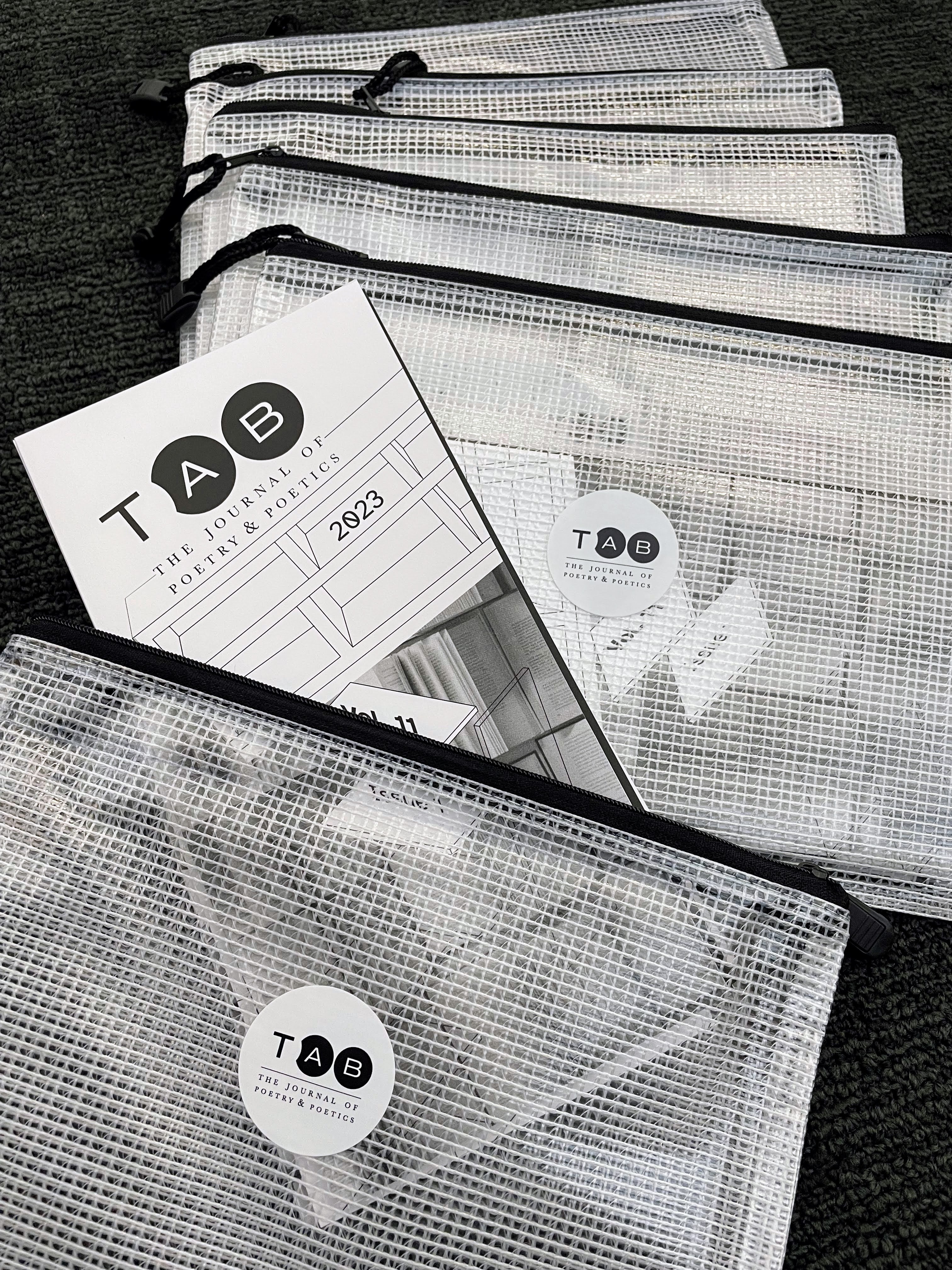

Tab: The Journal of Poetry & Poetics is a national and international journal of creative and critical writing. This new literary journal’s mission is to discover, support, and publish the contemporary poetry and writing about poetry; to provide a forum in which the poetic tradition is practiced, extended, challenged, and discussed by emerging and established voices; and to encourage wide appreciation of poetry and expand the audience for poems and writing about poetry.
The print issues of Tab: The Journal of Poetry & Poetics are special editions, each published at the beginning of the calendar year. These issues reflect Tab Journal’s mission to create an environment that celebrates poetry in various forms and venues. The annual print issue inaugurates a different design experience for every year and engages the reader with poetry as a material object and asks that the reader negotiates between image and text.


Artist Exhibition Catalogs
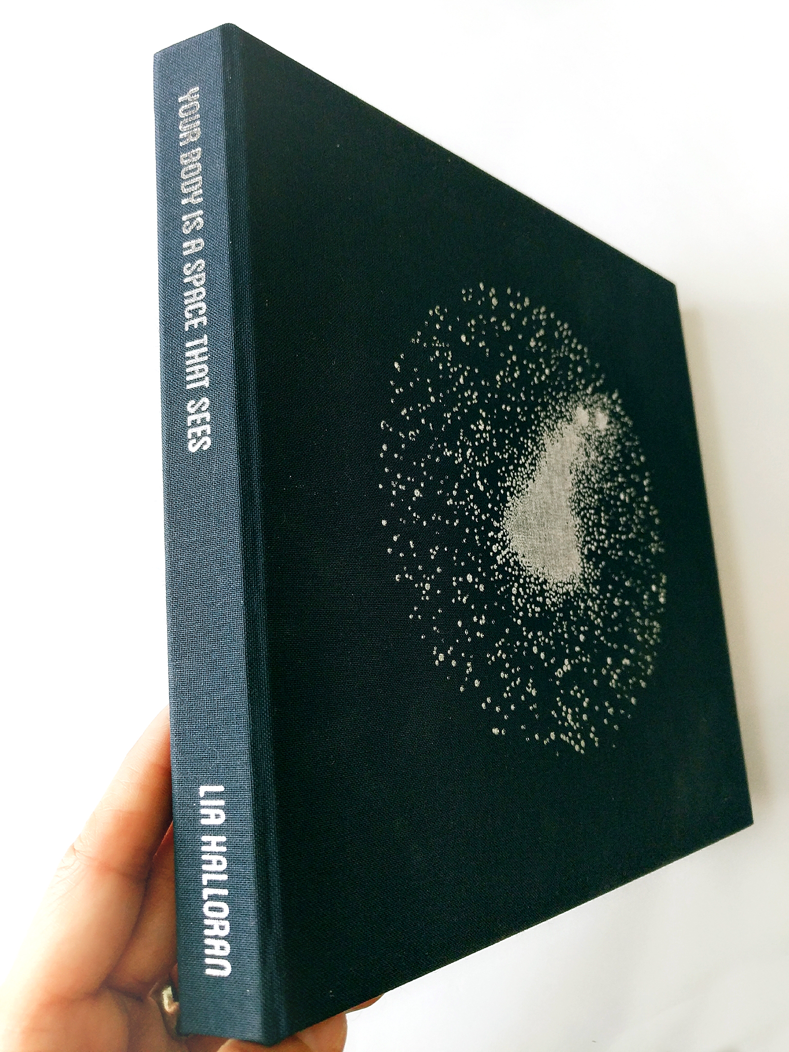
A BODY IS A SPACE THAT SEES + DEEP SKY COMPANION, LIA HALLORAN
“A Body is a Space That Sees” is an Exhibition Catalog for Los Angeles artist, Lia Halloran. This work “is a series of large-scale cyanotype works that source the history and discoveries of a group of women known as “Pickering’s Harem,” or later the “Harvard Computers,” who worked at the Harvard Observatory starting in the late 1800s through the first half of the 20th century”.—Luis De Jesus Los Angeles
Chino Creek Wetlands Park
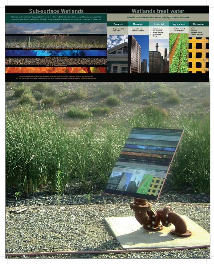
Winning the bid for the Inland Empire Utilities Agency, I worked with public artist, Richard Turner, to design architectural elements and signage for a 22-acre park. Water quality, flood control, environmental restoration, urban development, recreation, and water conservation were some of the park’s locational themes.

Medicine Information Redesign: Firdapse
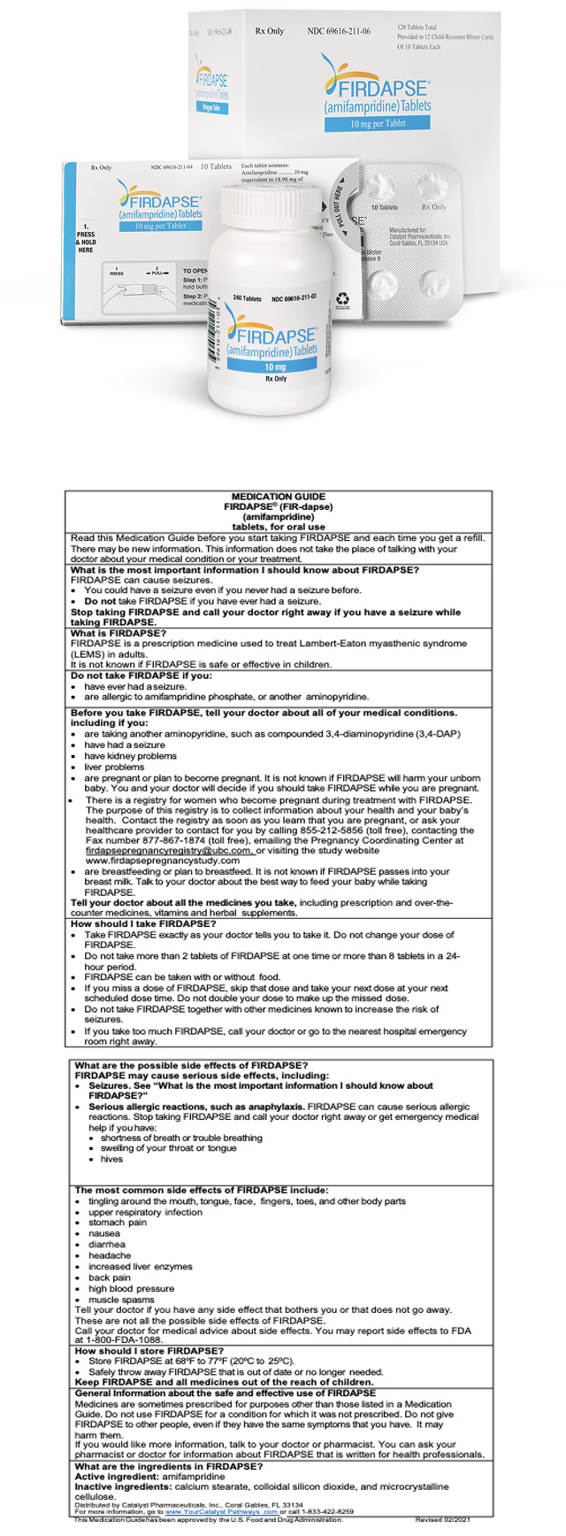
Firdapse (amifampridine) tablets are used for the treatment of Lambert-Eaton myasthenic syndrome (LEMS) in adults. LEMS is a rare autoimmune disorder that affects the connection between nerves and muscles and causes weakness and other symptoms in affected patients. It is the first FDA approval of a treatment for LEMS. You can find out more information on FDA approval for Firdapse.
Catalyst Pharmaceuticals needed to redesign instructions that would be easy to understand, follow, and accurate for adult and pediatric users for their FDA approval submission.
Using pictograms and Plain Language, the redesign was reorganized by dosage and rewritten to be shorter, using a larger type size with actionable highlighted in bold. Warnings and “do not use” information were moved to the front of the hierarchical system to ensure they would not be missed. Pictograms incorporated labels and instructions within the images, creating mini infographics for the ease of understanding the relationships between actions and supplies.
Your message has been sent

